ExamineAI
First page of ZIMSEC O-Level Geography Study Guide

ZIMSEC O-Level Geography Study Guide

Access this ZIMSEC O-Level Geography study guide for revision, practice, and exam preparation in Zimbabwe.

A free account is needed to download. Sign in or create one

Exam board
ZIMSEC
Subject
Geography
Level
O-Level
Document
Study Guide
Paper
Paper 1
Paper code
2248/1
File
PDF, 166 KB

About this study guide

This is the ZIMSEC O-Level Geography study guide for Paper 1. It is a free study guide for revision. The paper code is 2248/1.

More Geography O-Level papers

Other years: Geography O-Level

Text from the first page

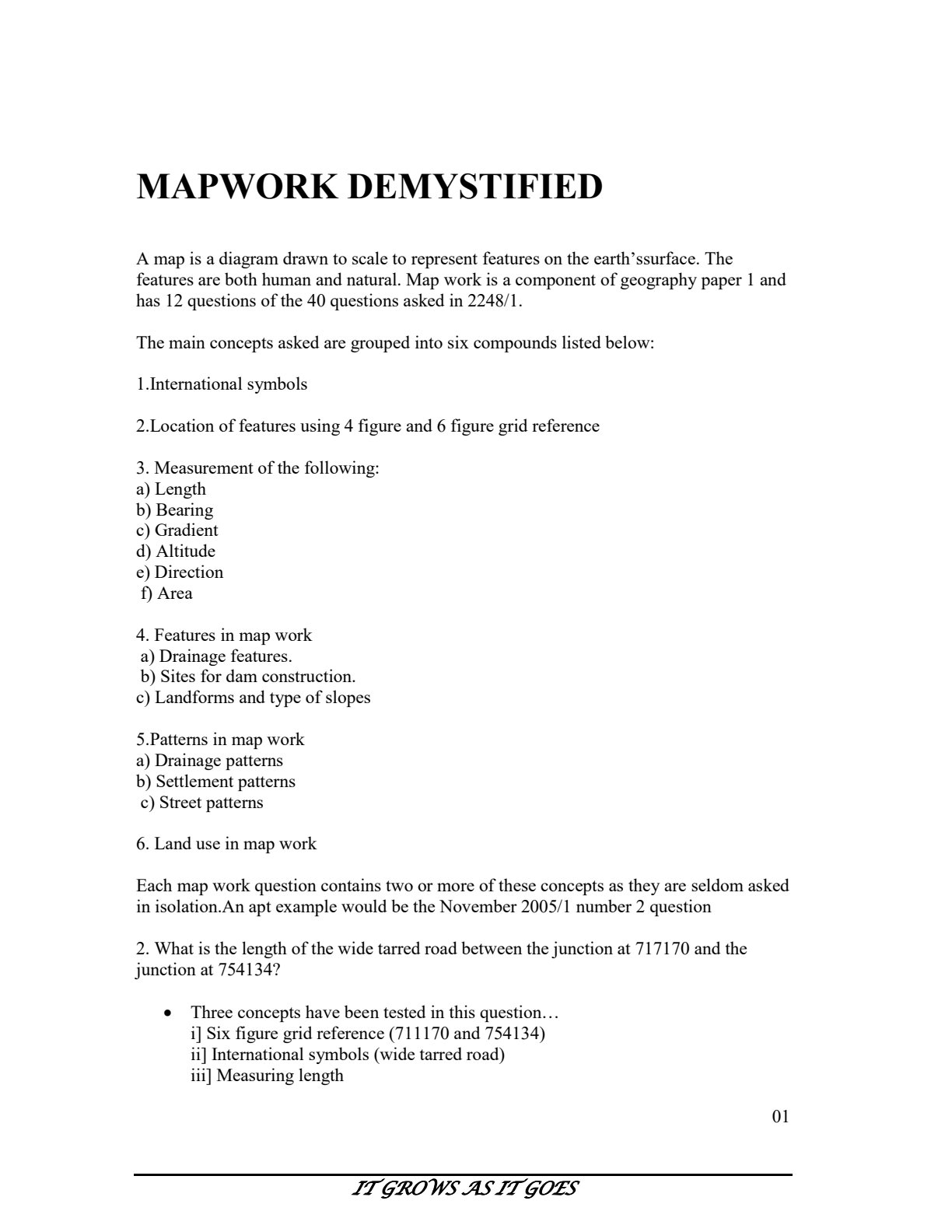
MAPWORK DEMYSTIFIED

A map is a diagram drawn to scale to represent features on the earth'ssurface. The features are both human and natural. Map work is a component of geography paper 1 and has 12 questions of the 40 questions asked in 2248/1.

The main concepts asked are grouped into six compounds listed below:
1.International symbols
2.Location of features using 4 figure and 6 figure grid reference
3. Measurement of the following:
a) Length
b) Bearing
c) Gradient
d) Altitude
e) Direction
f) Area
4. Features in map work
a) Drainage features.
b) Sites for dam construction.
c) Landforms and type of slopes
5.Patterns in map work
a) Drainage patterns
b) Settlement patterns
c) Street patterns
6. Land use in map work

Each map work question contains two or more of these concepts as they are seldom asked in isolation.An apt example would be the November 2005/1 number 2 question
2. What is the length of the wide tarred road between the junction at 717170 and the junction at 754134 ?
- Three concepts have been tested in this question...
i] Six figure grid reference (711170 and 754134)
ii] International symbols (wide tarred road)
iii] Measuring length

01
IT GROWS ASIT GOES