ExamineAI
First page of O-Level Geography Map Work Notes Zimbabwe

O-Level Geography Map Work Notes Zimbabwe

Study Geography notes on Map Work for O-Level. Useful for revision, homework, and exam preparation in Zimbabwe.

A free account is needed to download. Sign in or create one

Subject
Geography
Level
O-Level
Document
Notes
File
PDF, 734 KB

About this notes

This is the O-Level Geography notes. It is a free notes for revision.

More Geography O-Level papers

Other years: Geography O-Level

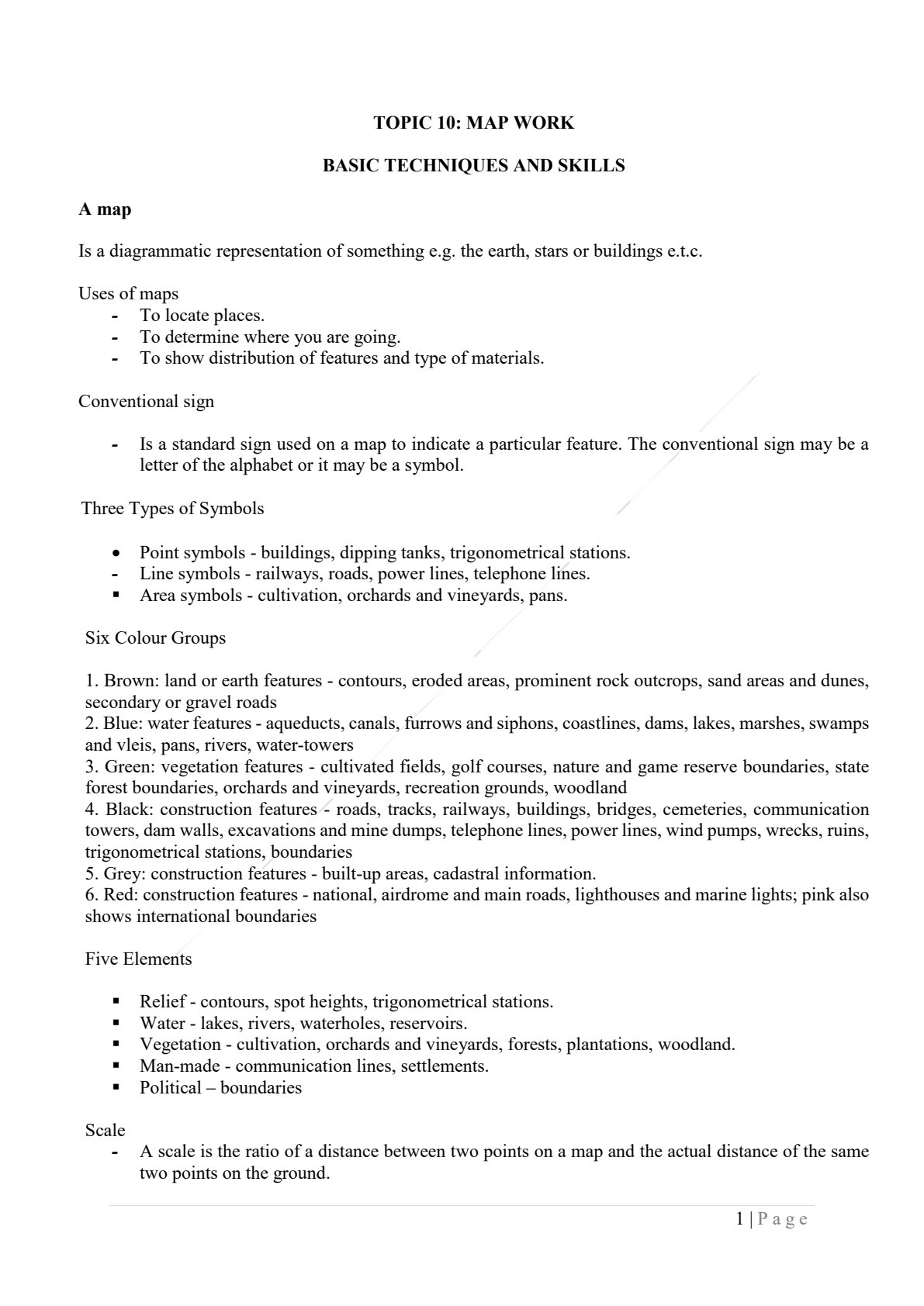
Text from the first page

TOPIC 10: MAP WORK

BASIC TECHNIQUES AND SKILLS
A map
Is a diagrammatic representation of something e.g. the earth, stars or buildings e.t.c.
Uses of maps
- To locate places.
- To determine where you are going.
- To show distribution of features and type of materials.

Conventional sign
- Is a standard sign used on a map to indicate a particular feature. The conventional sign may be a letter of the alphabet or it may be a symbol.

Three Types of Symbols
- Point symbols - buildings, dipping tanks, trigonometrical stations.
- Line symbols - railways, roads, power lines, telephone lines.
- Area symbols - cultivation, orchards and vineyards, pans.

Six Colour Groups
1. Brown: land or earth features - contours, eroded areas, prominent rock outcrops, sand areas and dunes, secondary or gravel roads
2. Blue: water features - aqueducts, canals, furrows and siphons, coastlines, dams, lakes, marshes, swamps and vleis, pans, rivers, water-towers
3. Green: vegetation features - cultivated fields, golf courses, nature and game reserve boundaries, state forest boundaries, orchards and vineyards, recreation grounds, woodland
4. Black: construction features - roads, tracks, railways, buildings, bridges, cemeteries, communication towers, dam walls, excavations and mine dumps, telephone lines, power lines, wind pumps, wrecks, ruins, trigonometrical stations, boundaries
5. Grey: construction features - built-up areas, cadastral information.
6. Red: construction features - national, airdrome and main roads, lighthouses and marine lights; pink also shows international boundaries

Five Elements
- Relief - contours, spot heights, trigonometrical stations.
- Water - lakes, rivers, waterholes, reservoirs.
- Vegetation - cultivation, orchards and vineyards, forests, plantations, woodland.
- Man-made - communication lines, settlements.
- Political - boundaries

Scale
- A scale is the ratio of a distance between two points on a map and the actual distance of the same two points on the ground.

$1 \|$ Page